
Dugi Otok & Sakarun Beach: Island Day-Trip Guide
Day-trip Dugi Otok from Zadar: Jadrolinija ferry to Brbinj, Sakarun beach, Veli Rat lighthouse, and Telašćica cliffs - DIY or boat tour.
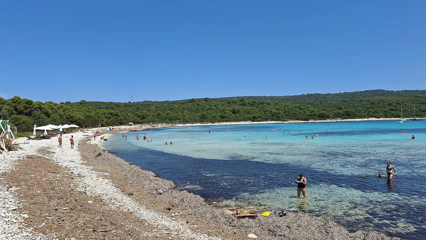
Dugi Otok is the long western island you see on the map west of Zadar, and a workable day trip if you catch an early ferry. The car ferry from Gaženica to Brbinj takes about 1 hour 35-40 minutes on Jadrolinija line 434; the draw for most first-timers is Sakarun, a shallow turquoise bay on the northwest coast that looks nothing like the pebble strips around the city. Pick one focus for a single day - Sakarun plus the lighthouse, or the cliffs of Telašćica in the south - because the island is 44.5 km long and you will lose the afternoon on the spine road if you try to do both.
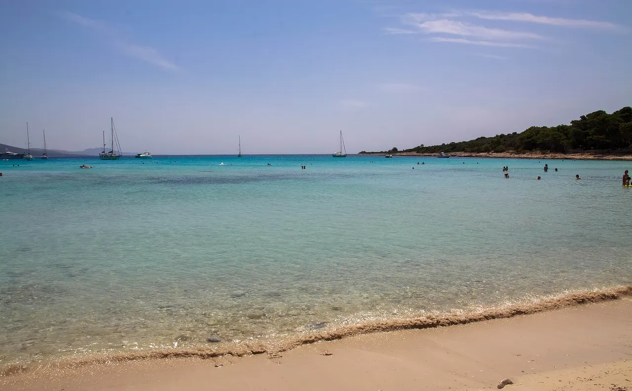
Getting there from Zadar
The mainland terminal that matters is Zadar Gaženica, the modern ferry port south of the old town - not the little harbour by the Sea Organ. Jadrolinija’s line 434 runs the car ferry to Brbinj on Dugi Otok. Official timing on the line page is about 1 hour 40 minutes; the 2026 sailing sheet lists the crossing nearer 1 hour 35 minutes. Either way, budget two hours door to door from the city centre once you add the drive or bus to Gaženica and boarding.
For 2026 Jadrolinija splits the timetable into a high-season block (3 July-30 August) and a low-season block (1 January-2 July and 31 August-31 December). Peak weeks put more sailings on the board; from 31 August the low-season pattern returns. Exact clock times shift by weekday, so buy against the live search on jadrolinija.hr instead of trusting a screenshot from last summer.
2026 island fares on this line (tourist tariff, year-round on the published cjenik): €6.40 adult foot passenger one way, €2.10 for children aged 3-12, and €28.50 for a private car up to 5 m long and 2 m high. Children under three travel free on the passenger fare. There is no return discount - you pay both legs. Island residents use a separate cheaper list; as a visitor you’re on the tourist prices above.
Without a car, catamaran line 9404 is the useful alternative - and it leaves from Zadar’s City center / Old Town harbour, not from Gaženica. The run goes Zadar → Rivanj, Sestrunj, Zverinac, then Božava and Brbinj on Dugi Otok. Jadrolinija times the full trip at about 1 hour 45 minutes. Božava sits closer to Sakarun than Brbinj does. In summer a small tourist train sometimes links Božava toward the beach, but there is no published timetable interval - Hoteli Božava has also marked the train unavailable at times, so treat it as seasonal and confirm on the day rather than planning around a fixed frequency. Foot passengers can’t bring a rental car on the catamaran; bags and beach gear are fine within ordinary limits.
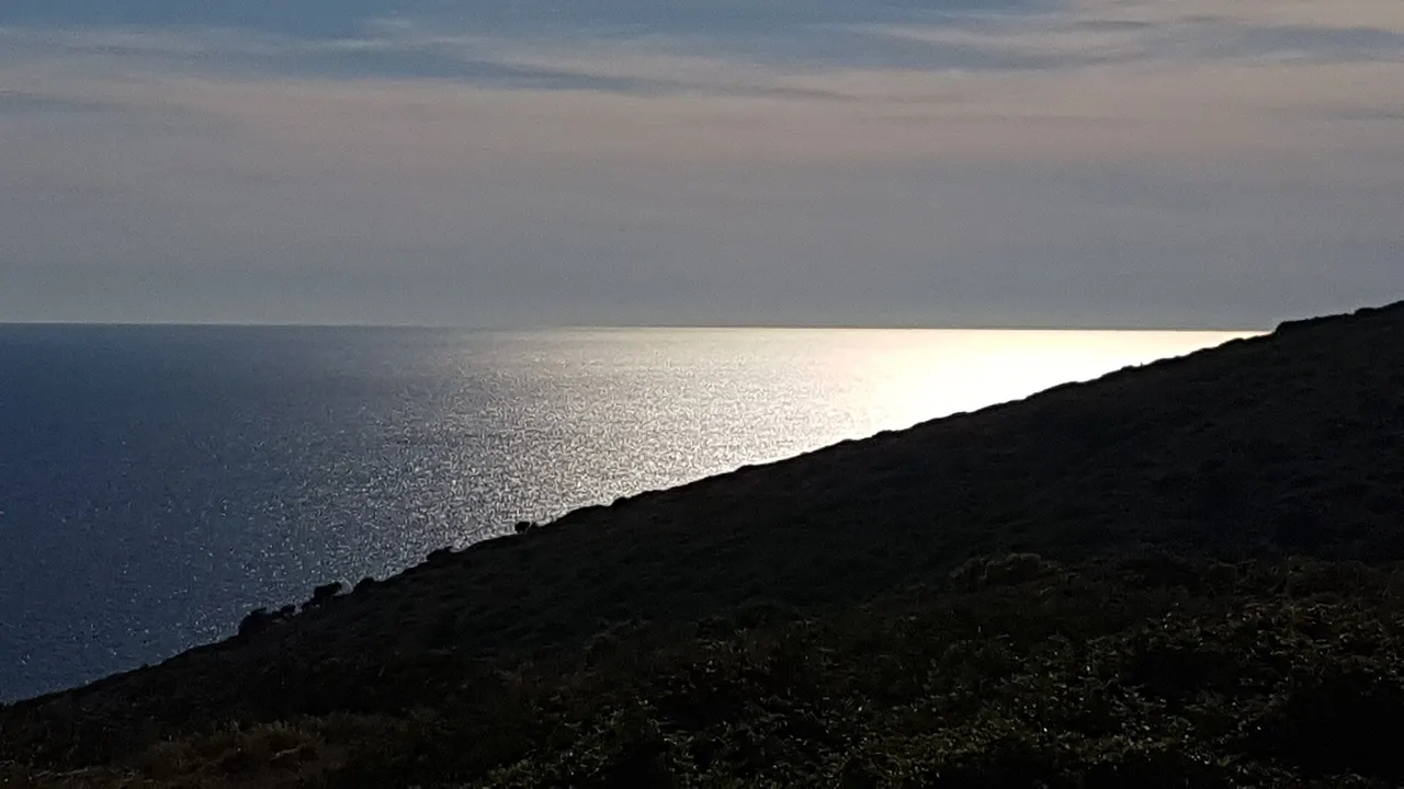
Sakarun beach: sand, shallows and crowds
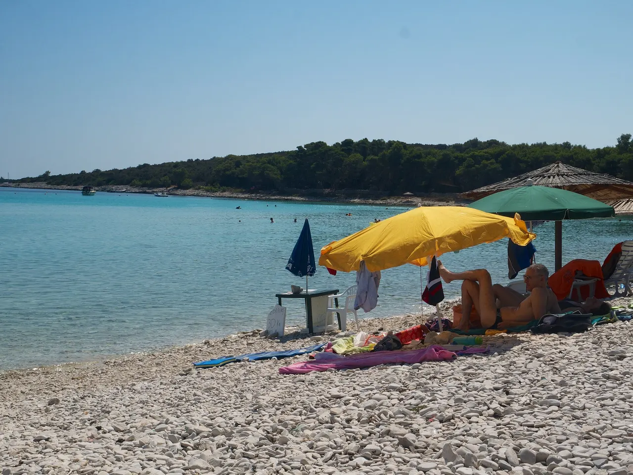
Sakarun (you’ll also see Saharun) sits on the northwest coast near Verunić, with Veli Rat, Soline and Božava as the nearby bases. The tourist board describes a beach about 300 metres long where, roughly 250 metres from shore, the water is still only about 3.5 metres deep - which is why the swimming shelf feels huge and why families like it. The shore is pale sand and fine pebble; pines give shade behind the bay; two seasonal bars cover drinks and light food in summer.
It’s public and free. July and August pack the sand by late morning, especially when day boats from Zadar drop swim groups. Arrive on the first ferry, or stay late after the tour boats leave, and the bay thins out. There’s usually paid parking set back in the pines - walk the last stretch. Water shoes help on the coarser patches near the dry sand; once you’re in, the bottom softens.
From Brbinj with a car, the drive northwest along the island road typically takes 20-40 minutes depending on traffic and where you park. From Božava on foot, use the seasonal tourist train when it’s running, or arrange a local transfer - walking the road in July heat is a poor plan.
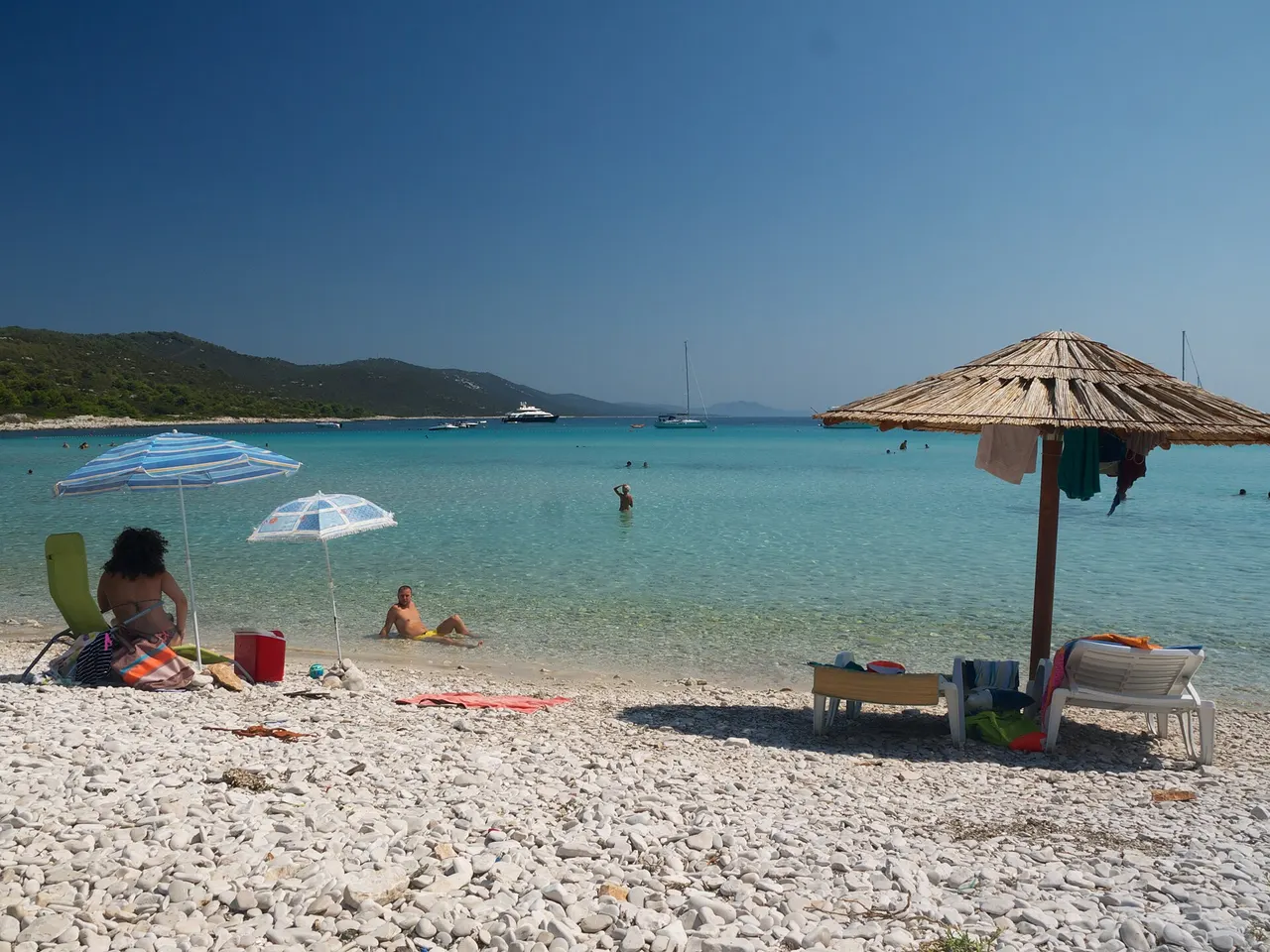
Veli Rat lighthouse
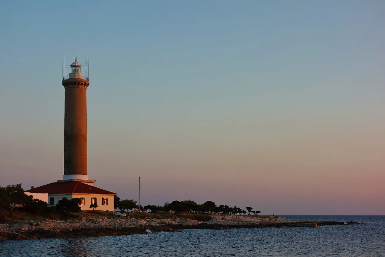
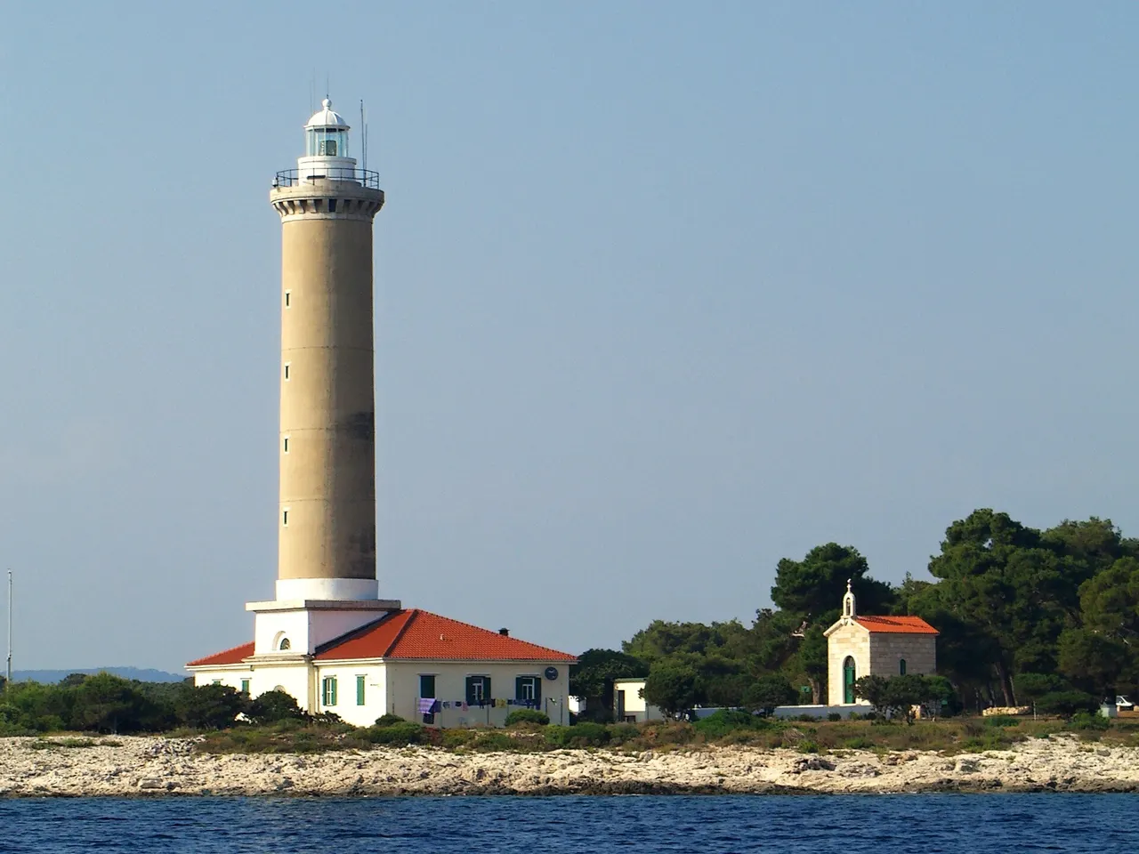
A short hop from Sakarun, the Veli Rat lighthouse marks the northwestern cape. Croatia’s navigation authority Plovput lists it as built in 1849, with a 36-metre stone tower, light 41 metres above mean high water, and a main range of 22 nautical miles (characteristic Fl(2) W 20s). The keeper’s house still has a residential role, and rooms have been rented to visitors in past seasons - availability changes, so treat availability as something to check locally, not a guaranteed hotel booking.
Climbing the tower, when it’s offered, is informal and depends on the keeper being present. Don’t bank a fixed ticket price into your budget; ask on site. The walk around the cape and the pine paths are free, and they earn the stop even without the stairs.
Organised boat trips from Zadar
DIY ferry-plus-beach is the flexible option when you’ve hired a car or you’re happy with the Božava train. The other common pattern from Zadar is an organised day boat that threads the outer islands, often combining a Kornati sail with a swim stop and a landing in Telašćica. Those trips save you the Gaženica logistics and the island driving, but they follow a fixed schedule - you won’t linger three hours on Sakarun because the boat has a return slot.
Park fees for Telašćica (and Kornati, when the route enters the national park) are usually bundled into the tour price; still read the inclusions - it’s easy to assume park tickets are extra when they aren’t. For a deeper look at the archipelago next door, see our Kornati National Park page. Where Dugi Otok sits among Croatia’s other islands - ferry times, beach type, rough cost band - is in the islands ranked comparison.
Telašćica: cliffs, salt lake Mir, and the south tip
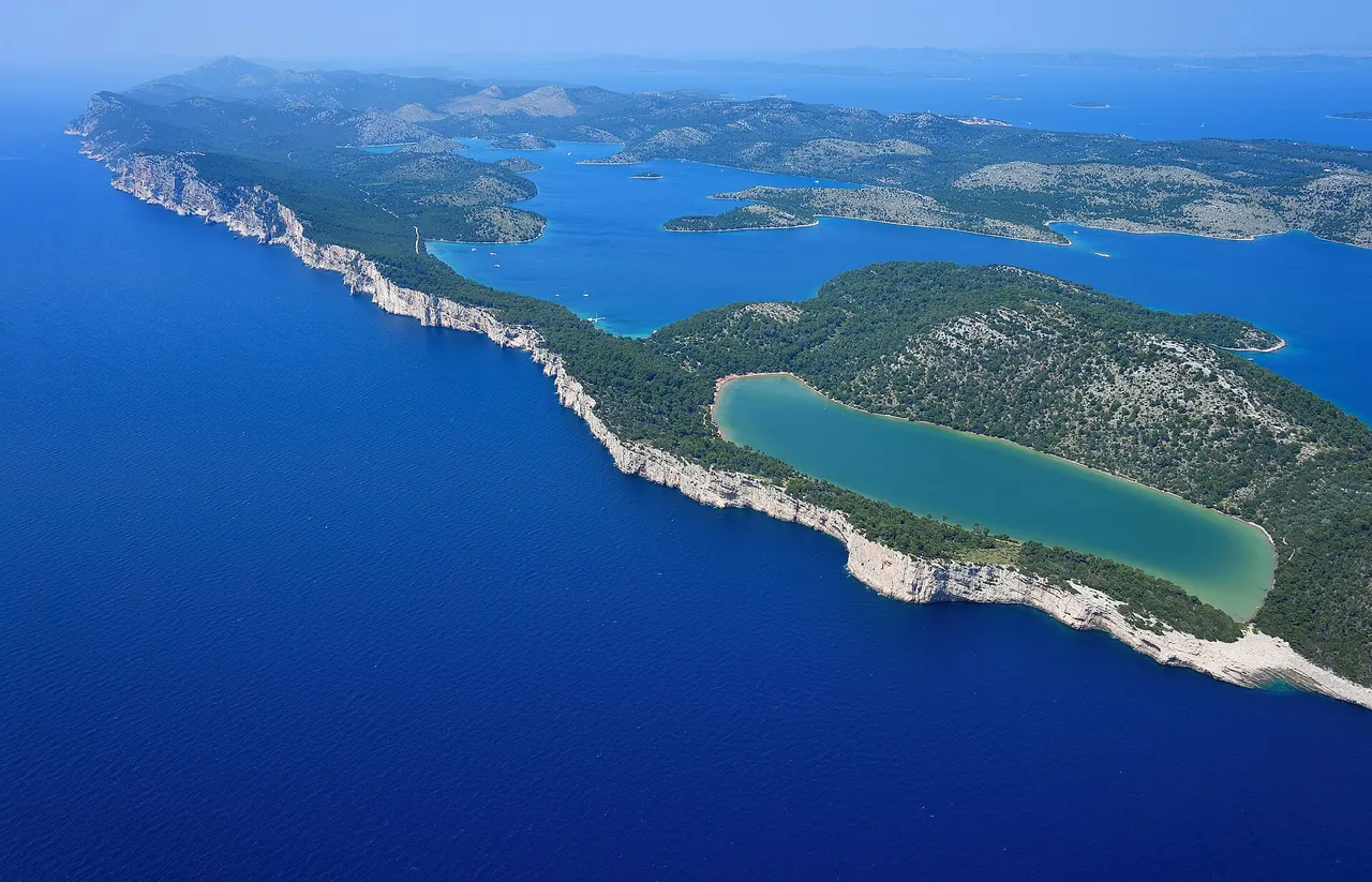
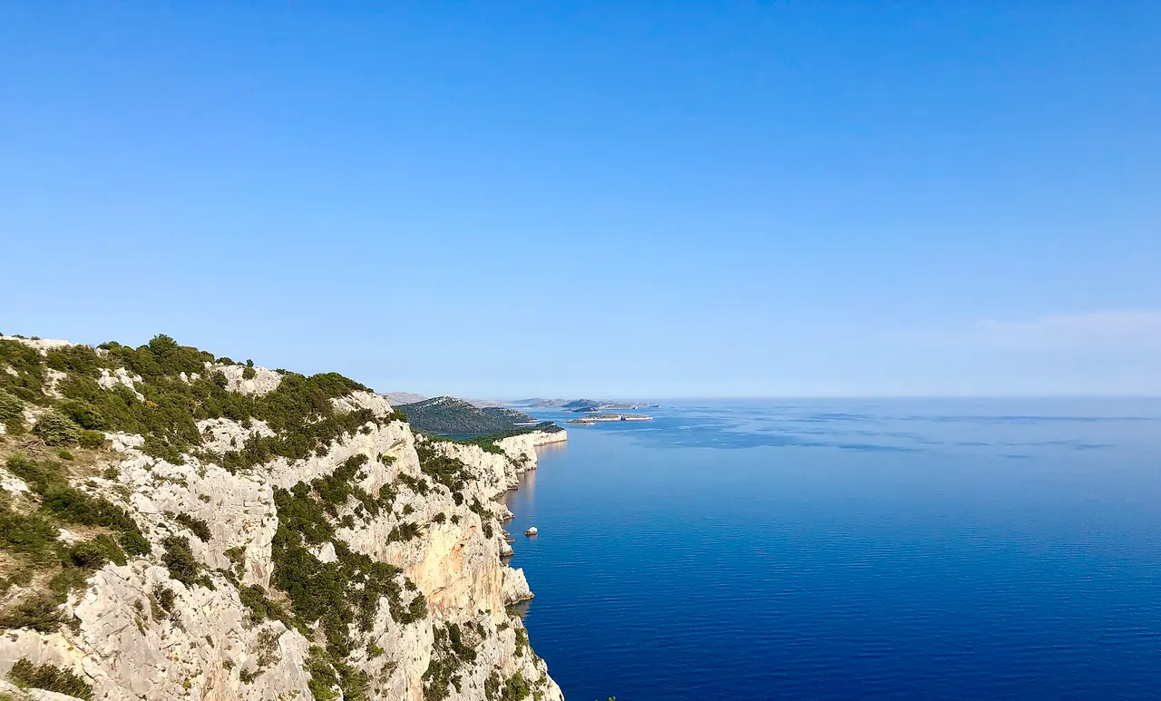
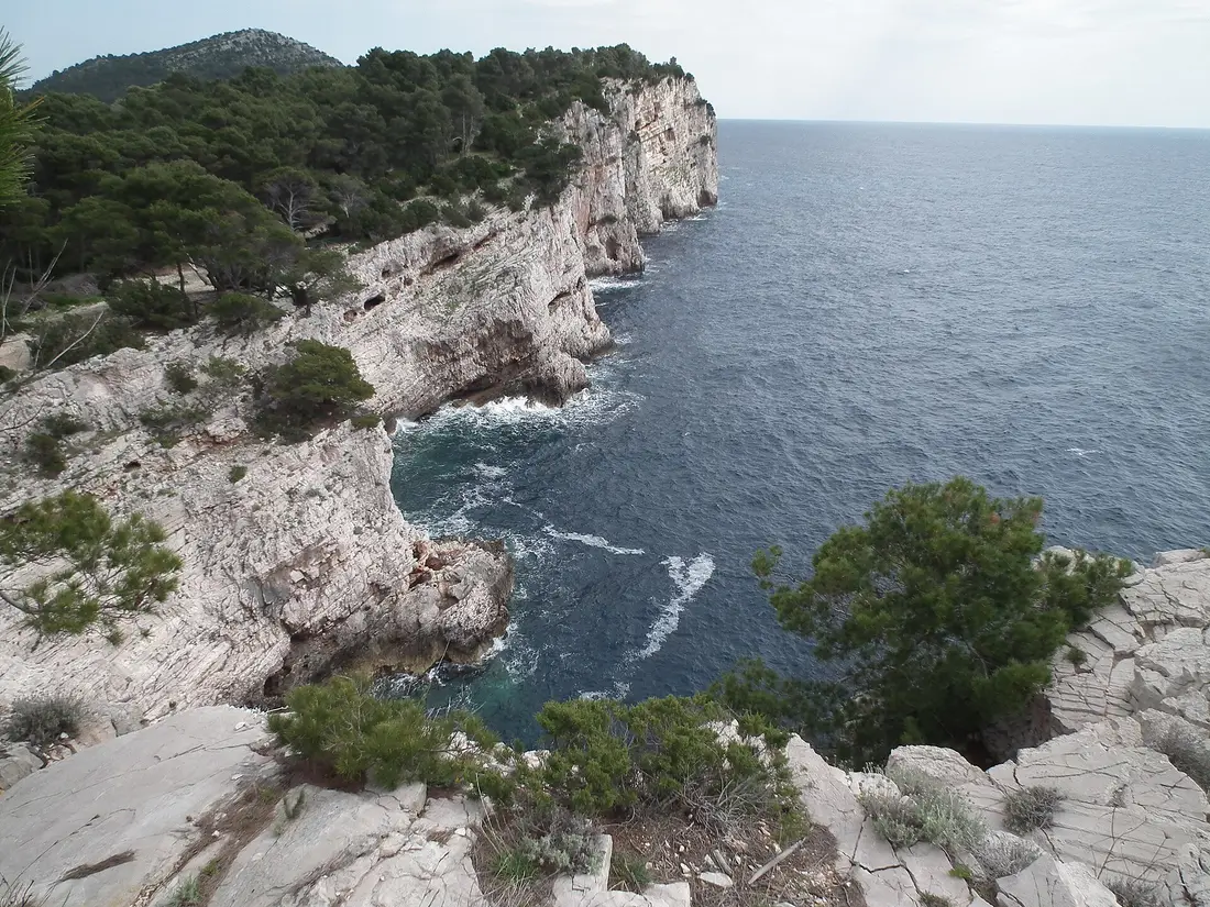
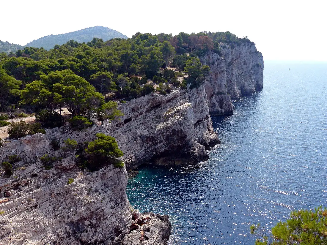
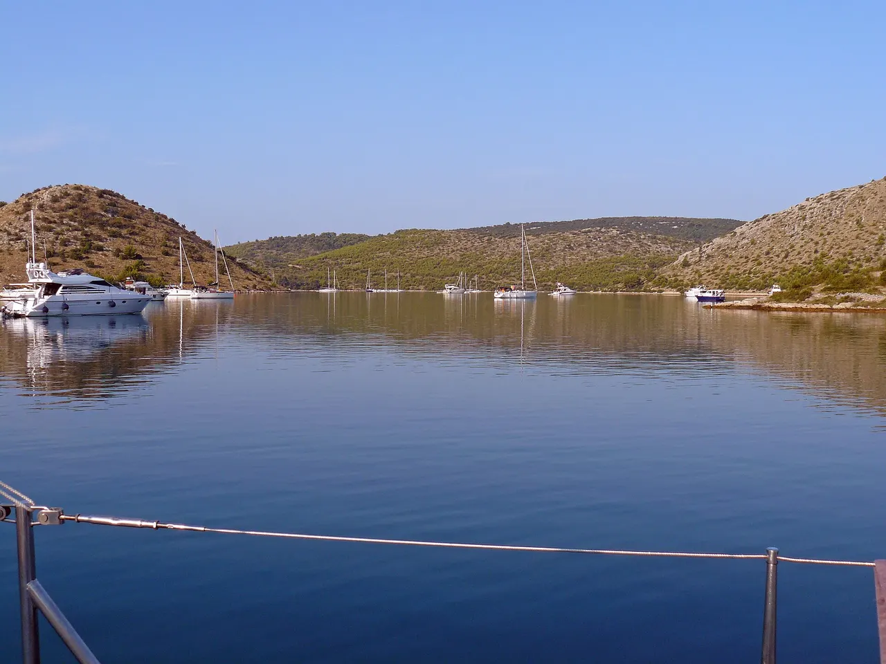
Telašćica Nature Park covers the southern end of Dugi Otok - about 70.50 km² in total, of which roughly 26 km² is land and the rest sea. Three features define it: the long sheltered bay (one of the best natural harbours on the Adriatic), the outer cliffs (stene) that rise to 161 metres at Grpašćak, and Lake Mir, a salt lake about 900 × 300 metres with a maximum depth of 6 metres. Underwater, the cliff wall drops around 85 metres. Mir is saltier than the open sea because of evaporation through a porous karst barrier; in summer the shallow water can feel warmer than the Adriatic next door (the park notes summer readings up toward 33°C).
2026 land tickets through the Dolac mainland entrance: €6 per person in the off-season months (January-May and October-December) and €8 in high season (June-September). A motor vehicle is a separate ticket at the same €6 / €8 rates; buses, minibuses and campers are €10 / €14. Children 8-18, visitors over 65 and students with ID pay €4 / €6; children up to seven enter free with parents. From 1 June to 1 September a park van links Gmajno polje with Mir bay on a fixed schedule - included with the ticket. Buy online a day ahead via the park’s web partners, or pay rangers on arrival; rules and date-change windows are on pp-telascica.hr.
From Brbinj, Telašćica is the long drive south past Sali - you’ll treat this as a second day, or as the focus of a boat tour. Don’t try both ends after a full Sakarun morning; it’s not a casual add-on.
Overnight or day trip
A day trip works when you take an early 434 sailing with a car, swim Sakarun before noon, stop at Veli Rat, and catch a late return to Gaženica. Without a car, the 9404 to Božava plus the tourist train - if it’s running that week - is the cleaner foot-passenger pattern for the beach alone. A Kornati-Telašćica boat is the better day if cliffs and island-hopping matter more than soft sand.
Overnight is when you want both ends of the island, or you simply don’t want to watch the clock. Rooms cluster around Božava, Veli Rat, Sali and a scatter of apartments in between. Book ahead for July and August - that’s when inventory is thinnest compared with Hvar or Brač. Eat simply: grilled fish, octopus salad, local olive oil; Sali’s got the densest choice of konobas.
Back in Zadar the same evening, the old town and the sunset at the Sea Organ still fit if your return ferry lands before dusk - details live on the Zadar travel guide. For where Dugi Otok sits against the other 14 islands in that ranking on beaches, ferries and budget, use the ranked list. And when the next day is for bare islets and boat-only parks, start with Kornati.
Opening hours, prices, timetables and seasonal services change through the year - the figures here are planning estimates, not quotes. Confirm current details with the operators and official sources before you go.
Photos
On the map
The map loads on click - to keep the page lightweight.
The map didn’t load. Check your connection and refresh the page.
Good to know
Sakarun beach is free and open year-round; beach bars and the Božava tourist train are seasonal. Ferry and catamaran timetables change with the season - confirm sailings and fares on jadrolinija.hr before you travel. Telašćica Nature Park tickets for 2026 are published on pp-telascica.hr.
Details checked: August 31, 2026
Read also

Cities · 13 min read
Motovun Travel Guide: Walls, Truffles & Teran
Verified · September 4, 2026Motovun hilltown guide: walls ticket €5 in 2026, St Stephen, Teran cellars, Mirna views, parking climb, and why the film festival no longer plays here.

Cities · 11 min read
Opatija Travel Guide: Habsburg Riviera & Lungomare
Verified · August 25, 2026Opatija on the Kvarner Gulf: the 10 km Lungomare, Villa Angiolina museum, Maiden with the Seagull, and how it differs from Rijeka and Istria.

Cities · 10 min read
Omiš Travel Guide: Pirates, Zipline & Cetina Canyon
Verified · August 21, 2026Omiš is 25 km from Split: Promet bus €2.50, Mirabela €4-6, Cetina rafting and an 8-line zipline over the canyon.

Cities · 9 min read
Cavtat Travel Guide: Dubrovnik's Quieter Neighbour
Verified · August 12, 2026Cavtat is 18 km from Dubrovnik: Libertas bus 10 costs €4, Račić Mausoleum €4, Bukovac House €7. Stay or day-trip.